Upload file
Steps
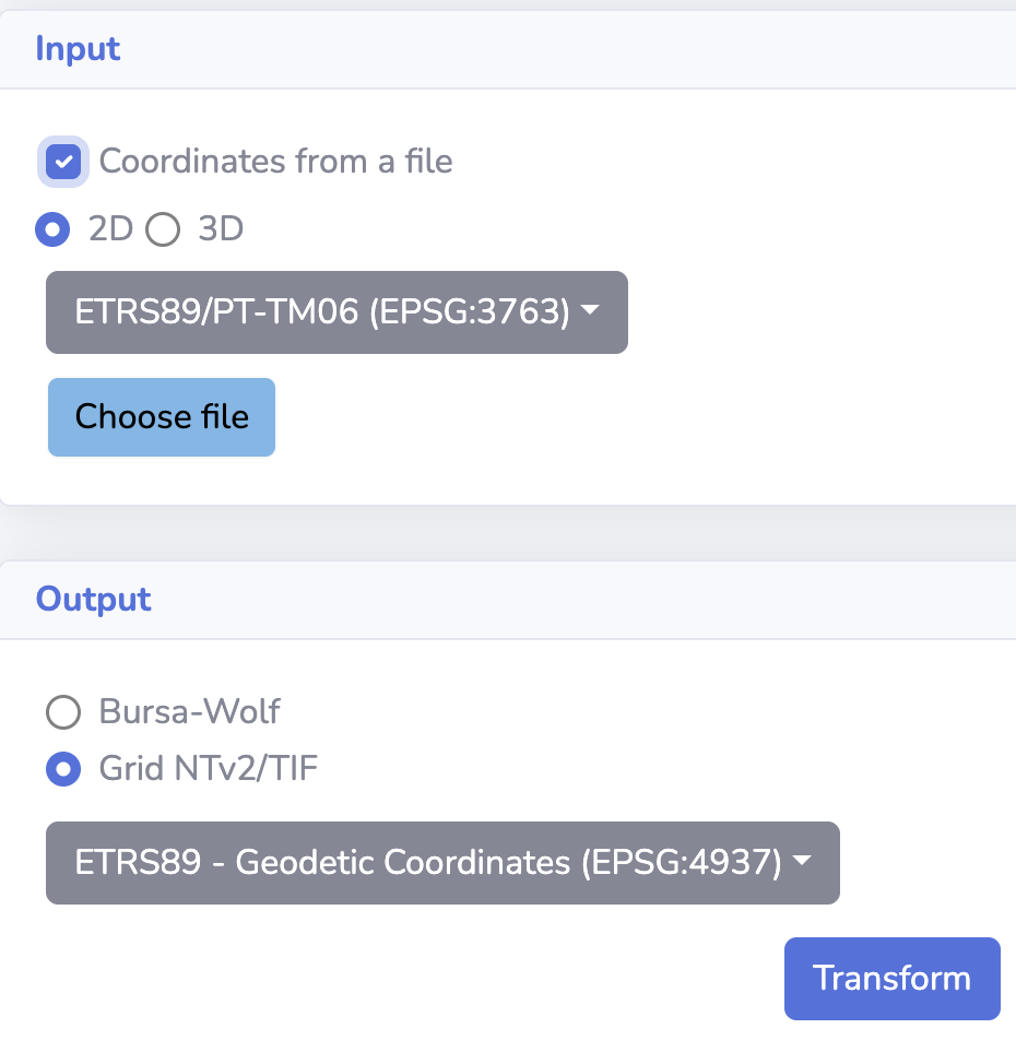
Select the "Coordinates from a file"
Select the "Input height type"
Choose the file
- The files can be in the CSV, Shape file (zip format), Geojson, Geopackage, KML, and GML formats
- The 2D and 3D files can be uploaded
- The Shape file, Geojson, Geopackage, KML, and GML files is shown on the map
- The zip format is only for uploading Shape file
Select the "Output coordinate system"
Select the "Output height type"
Transform
CSV
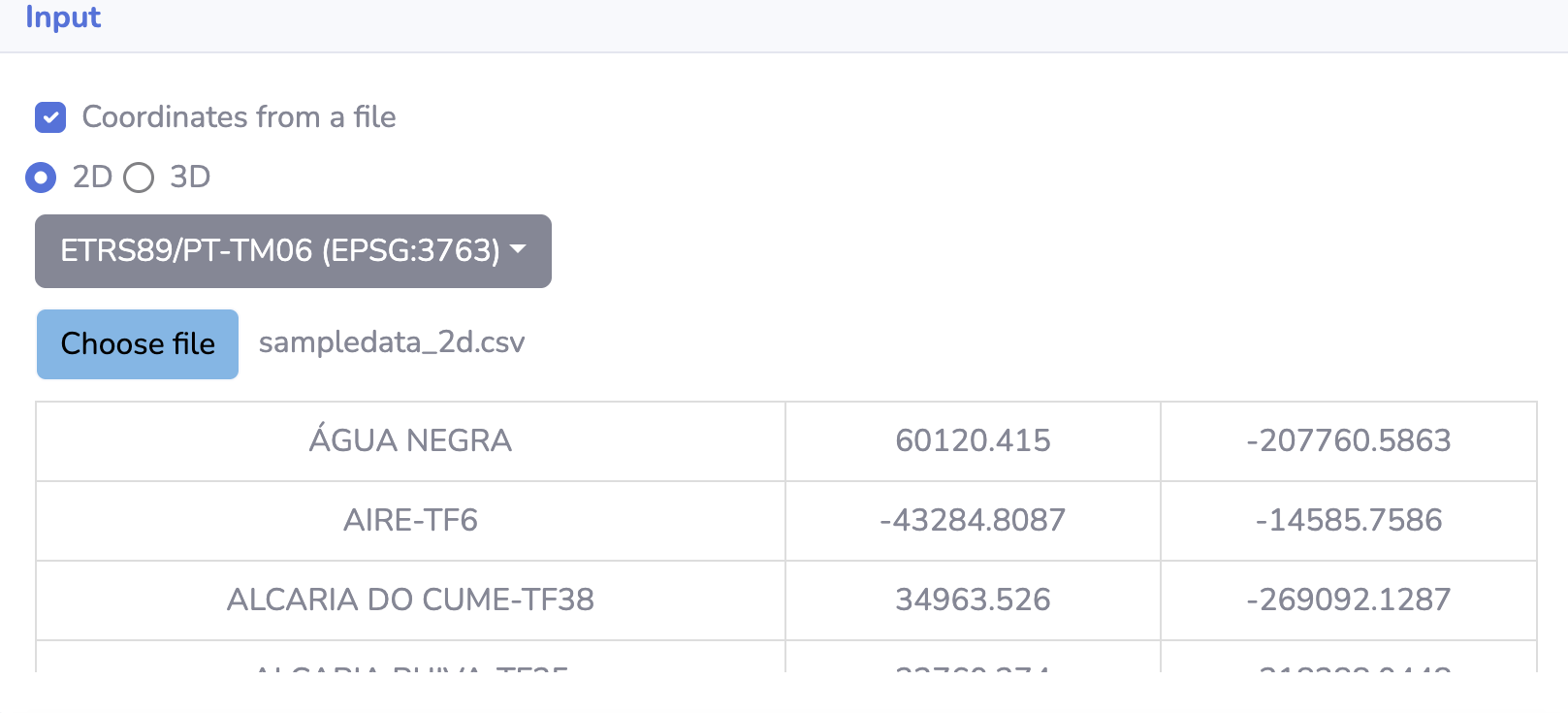
- The input file should be in the CSV format
- The input coordinate system should be selected
- The coordinates should be in the point format
- File format (2D): "A": name, "B": x, "C": y
- File format (3D): "A": name, "B": x, "C": y,"D": z
Shape file
- The input file should be in the zip format
- The input coordinate system is taken from the file
- The zip file can contain point,line,polygon
- The z value is taken from the file geometry
Geojson
- The input file should be in the geojson format
- The input coordinate system is taken from the file
- The point,line,polygon can be uploaded
- The z value is taken from the file geometry
Geopackage
- The input file should be in the geopackage format
- The input coordinate system is taken from the file
- The point,line,polygon can be uploaded
- The z value is taken from the file geometry
KML
- The input file should be in the kml format
- The point,line,polygon can be uploaded
- The z value is taken from the file geometry
GML
- The input file should be in the gml format
- The input coordinate system is taken from the file
- The point,line,polygon can be uploaded
- The z value is taken from the file geometry